
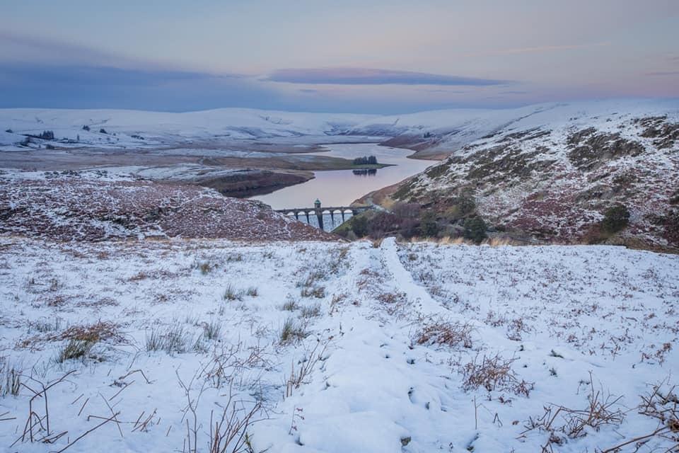
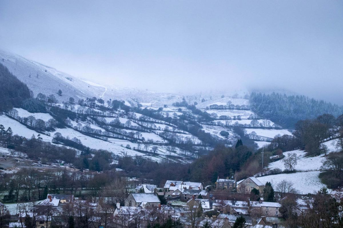
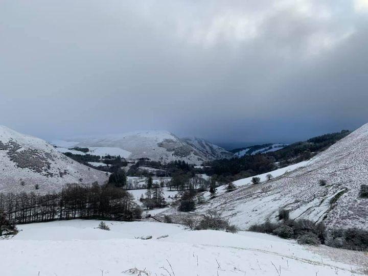
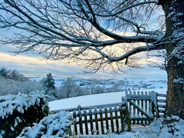
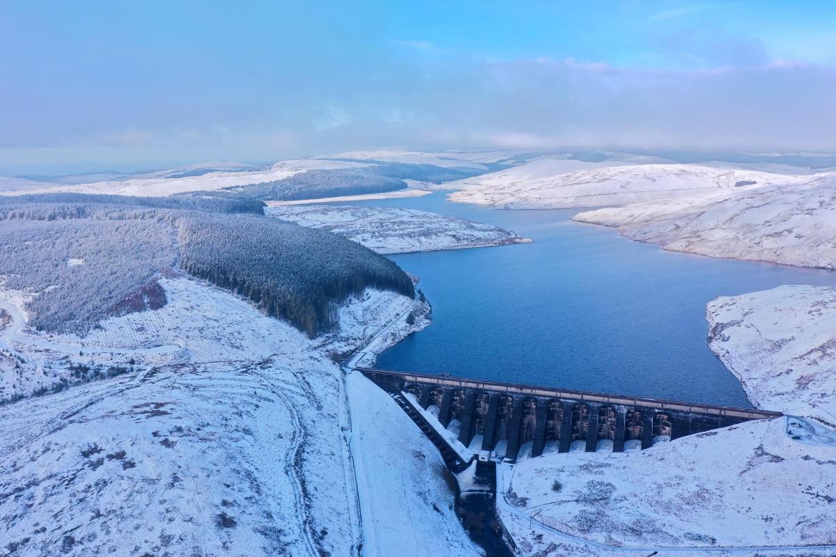
RESIDENTS near Lake Vyrnwy woke up to find the area under a blanket of snow on Tuesday morning.
Temperatures plunged across the country overnight with the north Montgomeryshire lake near Llanfyllin recording 7cm of snow.
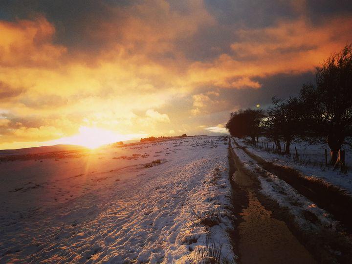
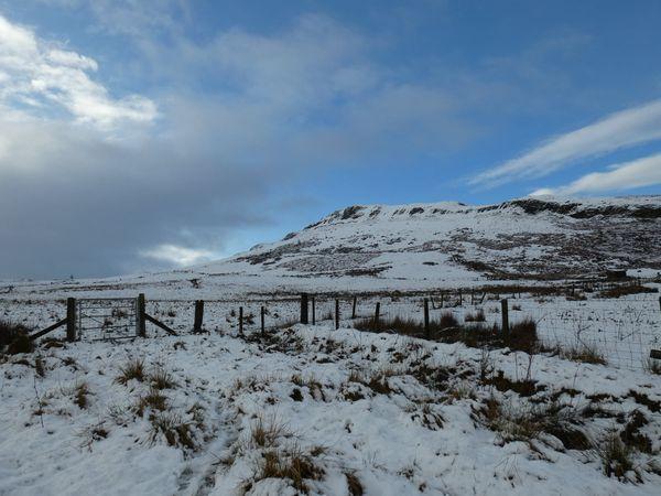
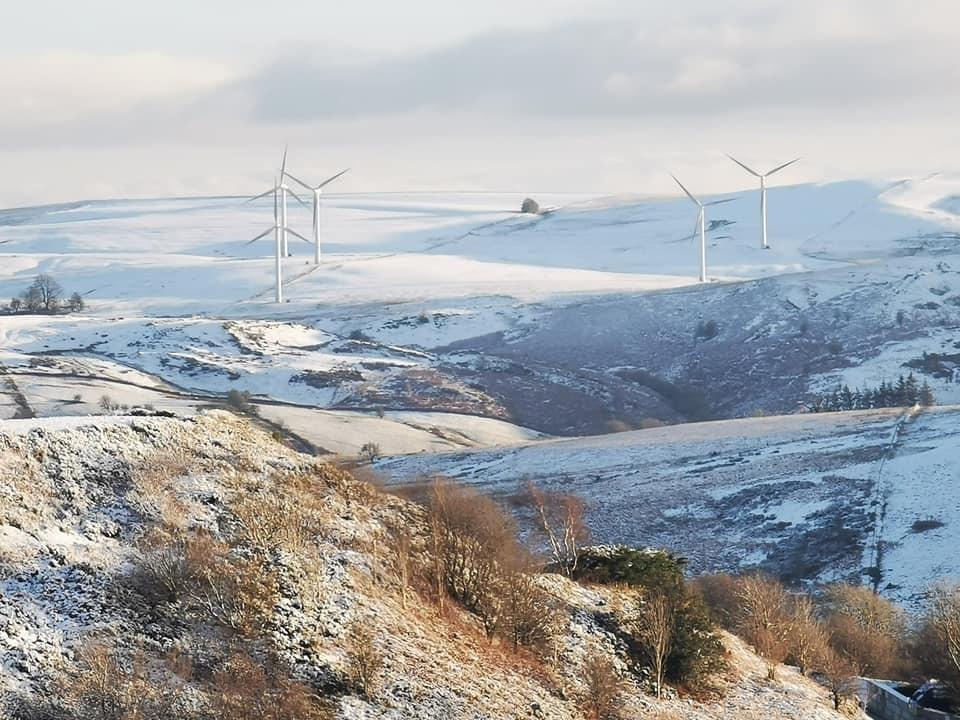
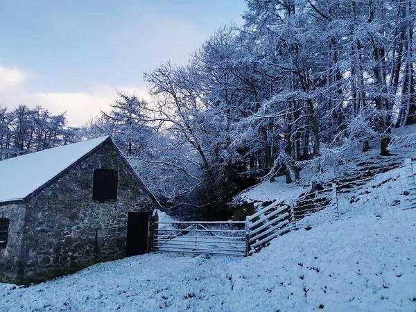
Snow fell throughout Powys with Llandrindod Wells and Llandegley Rocks near Builth Wells also under a carpet of snow.
Snow and ice brought treacherous conditions to many parts of the country, with the cold snap forecast to bite into the new year.
Bands of rain, sleet and snow were moving across the UK on Tuesday morning, bringing dangerous driving conditions, particularly around Manchester, Gloucestershire, Wiltshire and Berkshire, the Met Office said.
Met Office meteorologist Alex Burkill said the agency lacks a comprehensive ability to measure snow depth and anecdotal reports online of 5cm to 10cm of snow across many parts of the UK were likely to be accurate.
A yellow warning for snow and ice for much of England, Wales and Scotland was in force until 10am on Tuesday after heavy snow in some regions.
Temperatures in the afternoon are forecast to be around 4C-7C across the UK, turning cold quickly in the evening with a widespread frost.
The Met Office said: "Wintry showers will start to fade inland, but they will continue to stream into coastal areas, northern Scotland and Northern Ireland."
Mr Burkill said coastal areas could also see hail and thunder.
Mr Burkill added: "The amount of snow would be disruptive and impactful. We could still see a few centimetres building up. These areas don't usually see that much snow."
A low pressure system will see rain meet cold air, turning to snow over hills and lower areas.
The cold snap is forecast to continue well into the new year.
The AA said regional restrictions imposed due to Covid-19 mean roads are quieter than normal.


Comments: Our rules
We want our comments to be a lively and valuable part of our community - a place where readers can debate and engage with the most important local issues. The ability to comment on our stories is a privilege, not a right, however, and that privilege may be withdrawn if it is abused or misused.
Please report any comments that break our rules.
Read the rules here